OrbitView
 TakeMe2Space
On-demand satellite imagery service — select any location, commission a photo from 500km altitude, download after the next orbital pass, at $100 per image.
Technical specifications
- Imaging altitude
- 500km
- Standard price
- $100 per image
- Satellite
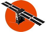
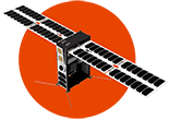
- TakeMe2Space MoI constellation
About
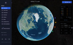
OrbitView is TakeMe2Space’s on-demand satellite imagery service, allowing individuals and organisations to commission photographs of any location on Earth captured from 500km altitude. Users select a location, the satellite captures the image on its next orbital pass, the user receives a notification, and they download the photograph.
Applications include personal documentation of homes and landmarks, natural landscape photography, environmental change monitoring over time, and exploration of terrestrial features. Time-series documentation supports repeated imaging of the same location. Previously restricted to governments and corporations with large budgets, OrbitView democratises access to satellite imagery for individuals and smaller organisations at a flat $100 per image.
Documentation
No public datasheet yet — request the datasheet / ICD from the supplier.