GHGSat Satellite Constellation & DATA.SAT
 GHGSat
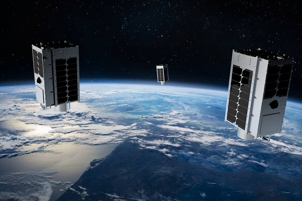
GHGSat's commercial constellation of small satellites carrying a patented high-resolution imaging spectrometer, delivering year-round, worldwide methane and CO2 emissions monitoring down to individual industrial facilities.
Technical specifications
- Satellites in orbit
- 15 commercial satellites (as of 2025)
- Spatial resolution
- ~25 m per pixel
- Orbital altitude
- ~500 km
- Satellite dimensions
- ~20 x 30 x 40 cm (small satellite form factor)
- Sensor technology
- Patented Wide-Angle Fabry-Perot (WAF-P) imaging interferometer
- Detection capability
- Methane (CH4) point-source detection; CO2 detection on GHGSat-C10 'Vanguard'
- Pixels per image
- >200,000 pixels with methane concentration values
- Source size sensitivity
- Detects sources up to 100x smaller than other satellite systems
- 2024 measurements delivered
- 4.18 million facility measurements
- Data products
- Abundance Dataset, Concentration Map, Emission Rates, Data Archive
- Sensor manufacturer
- ABB (Canada); satellite bus by Spire Global
About
DATA.SAT delivers high-resolution satellite data to identify point sources of methane (CH4) and carbon dioxide (CO2) emissions down to individual facilities, using GHGSat’s rapidly growing satellite constellation – the largest commercial constellation dedicated to greenhouse gas monitoring, with 15 satellites launched to date (as of 2025) and more in construction.
At the heart of each satellite is GHGSat’s patented Wide-Angle Fabry-Perot (WAF-P) imaging spectrometer, an interferometer based on the 1899 Fabry-Perot design, miniaturized and adapted for small satellites (approximately 20 x 30 x 40 cm) flying at roughly 500km altitude. The instrument measures the absorption of sunlight by methane at very high spectral resolution, providing accurate methane concentration values for over 200,000 pixels in each image, at a spatial resolution of approximately 25m – enabling detection of emission sources up to 100 times smaller than other satellite systems, at less than 1% of the investment cost of comparable systems.
In November 2023, GHGSat launched GHGSat-C10 ‘Vanguard’, the world’s first commercial high-resolution CO2 sensor, alongside methane detectors GHGSat-C9 ‘Juba’ and GHGSat-C11 ‘Elliot’ on a SpaceX Transporter-9 rideshare mission. The CO2 sensor enables precise measurement from carbon-intensive industrial sites such as steel mills, aluminum smelters, power plants, cement works and petrochemical complexes, down to 25m resolution on the ground – a capability no other satellite system currently offers. Sensor payloads are built by ABB in Canada and integrated onto satellite buses designed, built and operated by Spire Global.
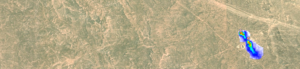
Four data processing levels are available depending on customer requirements: the Abundance Dataset (a multi-layered GeoTIFF containing per-pixel methane concentration data, including surface reflectance imagery), Concentration Map (a visualization layer of methane emissions overlaid on ground imagery), Emission Rates (advanced retrieval methods to infer emission rate estimates from high-resolution methane concentration data), and the GHGSat Data Archive (access to historical satellite data by time period and region for analysis and research). In 2024 the constellation delivered 4.18 million facility measurements. Data is accessed through GHGSat’s SPECTRA client platform and supports flexible subscription plans, consistent worldwide coverage, rapid response emissions detection, compliance surveying and safe (non-intrusive) facility-level monitoring for oil & gas, waste management, mining, government/regulatory and financial services clients.
Documentation
Need the full ICD, test reports or a specific revision? Ask the supplier directly.