TY29 (DIZHI-1) Hyperspectral Remote Sensing Satellite
 Spacety
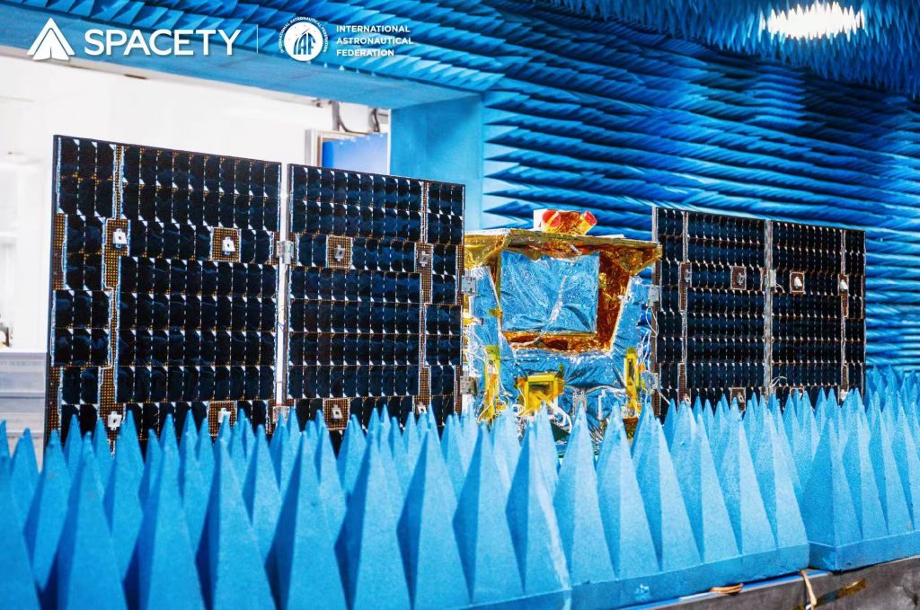
Hyperspectral geological remote sensing satellite (410-2480 nm) developed with China University of Geosciences for mineral, soil and water-pollution analysis.
Technical specifications
- Spectral range
- 410 nm - 2,480 nm (hyperspectral)
- Detection technology
- TDI (Time-Delay Integration) multi-spectral visible-light detection; infrared focal-plane filter spectral splitting
- Lead institution
- China University of Geosciences (Wuhan)
- Applications
- Mineral composition detection, rock type identification, alteration mapping, soil quality assessment, water pollution monitoring
- Launch vehicle
- Zhuque-2A (ZQ-2A), Dongfeng Commercial Aerospace Innovation Test Zone
About
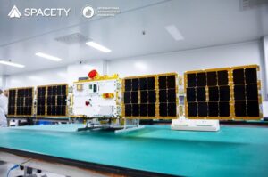
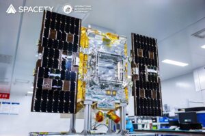
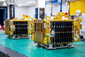
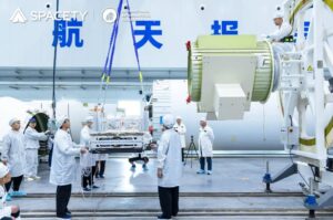
TY29 (DIZHI-1), launched 17 May 2025 on Zhuque-2A from the Dongfeng Commercial Aerospace Innovation Test Zone, is a hyperspectral geological remote-sensing intelligent small satellite led by the China University of Geosciences (Wuhan) and developed by Spacety. Its spectral bands, covering 410 nm to 2,480 nm, are optimized specifically for geological applications, forming specialized spectral coverage for the mining and geosciences industry. TY29 overcame several technical challenges, including high-reliability integrated opto-mechanical system design, high-reliability infrared focal-plane filter spectral-splitting technology, and Time-Delay Integration (TDI) multi-spectral visible-light detection for its camera. It delivers high-precision remote sensing data and analytical services for geological and environmental exploration, monitoring, identification, interpretation and analysis, spanning mineral composition detection, rock type identification, alteration information extraction, soil quality assessment, and water pollution monitoring.
Documentation
No public datasheet yet — request the datasheet / ICD from the supplier.