Satellite Data-as-a-Service (DaaS)
 Spacety
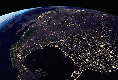
Optical and SAR satellite image data delivery service for agriculture, energy, environment, disaster response, marine surveillance, and infrastructure monitoring.
Technical specifications
- Data sources
- Spacety-owned optical EO satellites, Spacety SAR constellation, plus imagery distributed from tens of third-party satellites
- Application sectors
- Agriculture & forestry, oil & gas, environment, water management, disaster management, marine surveillance, infrastructure/building monitoring, safety & security
About
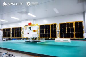
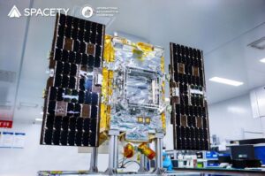
Spacety provides satellite image data to the world for applications in agriculture and forestry, oil and gas, environment, water management, natural disaster management, ocean and marine surveillance, infrastructure and building monitoring, and safety and security. Spacety operates its own optical Earth-observation satellites in orbit and is developing a large SAR constellation, and also distributes high-quality images sourced from tens of other satellites, giving customers a single access point for multi-sensor Earth-observation data.
Documentation
No public datasheet yet — request the datasheet / ICD from the supplier.