About Zhongke Xingchen
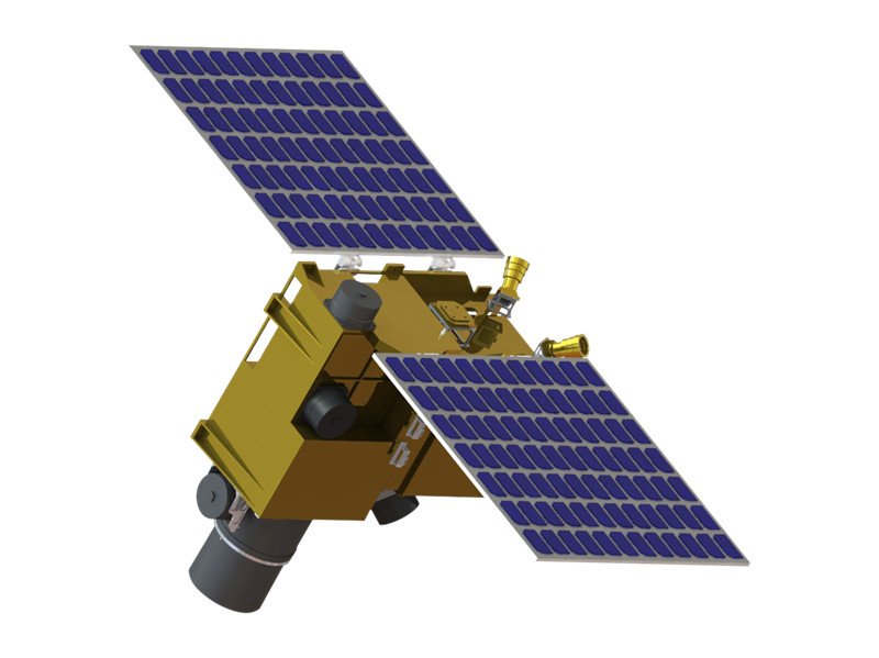
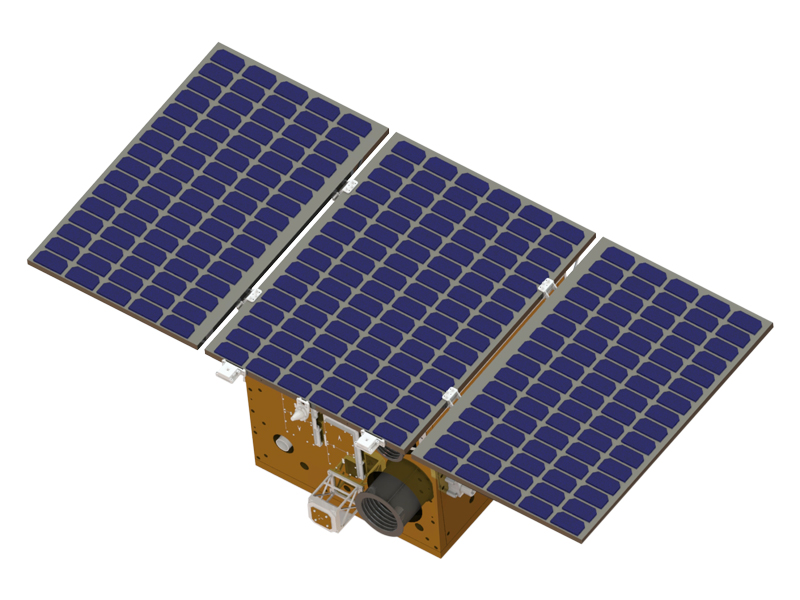
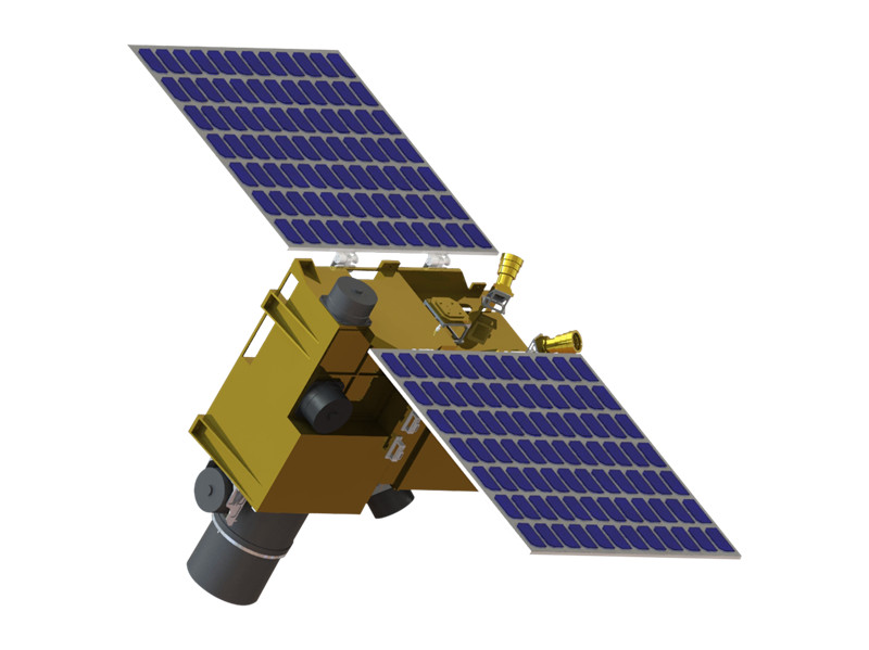
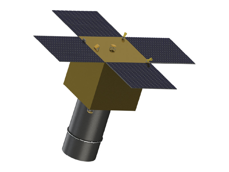
Zhongke Xingchen — operating under the registered name Xi'an Institute of Optics and Precision Mechanics CAS Aerospace Science and Technology Group Co., Ltd. and trading as Xiopm Space — is a Chinese commercial satellite company established in January 2021 as a wholly-owned commercial spin-off of the Xi'an Institute of Optics and Precision Mechanics (XIOPM), Chinese Academy of Sciences, represented by Xi'an Xiguang Industrial Development Co., Ltd. The company independently develops hyperspectral remote sensing satellites and provides associated data services, spanning the full business chain from satellite development and constellation operation to payload customization and data application.
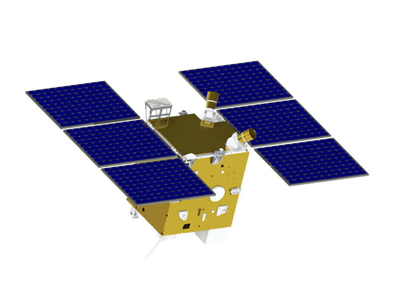
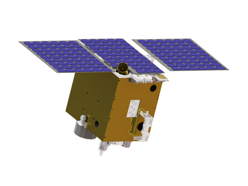
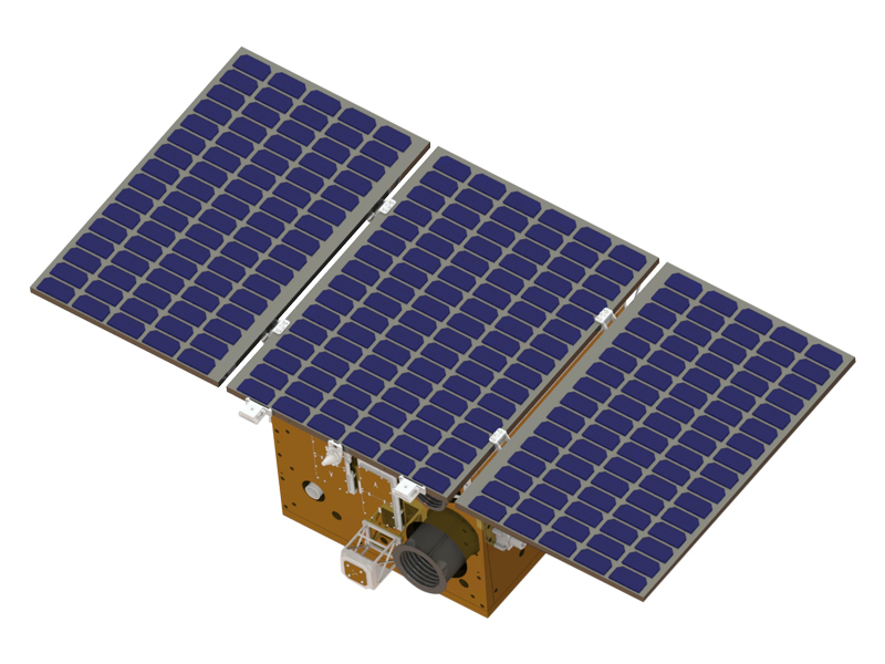
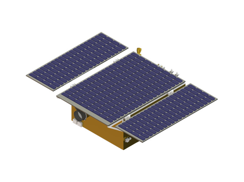
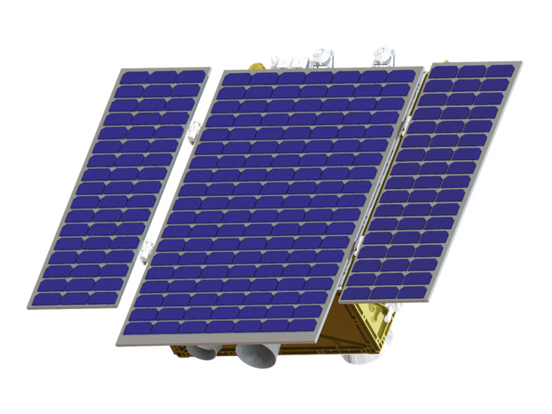
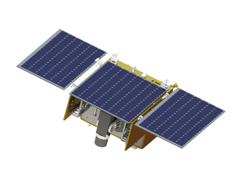
Zhongke Xingchen is building the "Xiguang Series", a planned constellation of 158 satellites comprising 108 general-purpose hyperspectral satellites plus infrared monitoring satellites, 40 dual-carbon (greenhouse gas) monitoring hyperspectral satellites, and 10 mission-specific hyperspectral satellites for ocean, agriculture, forestry and mineral-resource monitoring. Its product line covers Gaofen-class high-resolution imaging satellites, general hyperspectral satellites, and dedicated series for carbon dioxide monitoring, methane (point-source and wide-swath) monitoring, agriculture/forestry monitoring, mineral exploration and ocean colour monitoring, all built on lightweight, miniaturised small-satellite platforms of 55-200 kg.
Since its first self-developed satellite, Xiguang-1 03 (Xiamen Science and Technology No. 1), launched in January 2023, the company has put multiple satellites into orbit, including a five-satellite batch in August 2023 and China's first commercial point-source methane monitoring satellites (Xiguang-1 04 "Quehua-1" and Xiguang-1 05 "Tianxianpei") in November 2024. It also operates the CAS Xiguang Remote Sensing Cloud, described as China's first hyperspectral remote-sensing satellite big-data sharing platform, and the CAS-XIGAN Interstellar Cloud ground processing system.
The company represents part of China's strategy to commercialise state research institute technology through the country's growing new-space commercial sector, leveraging XIOPM's precision optical instrument and miniaturised satellite technology expertise to serve government, enterprise and commercial customers in agriculture, forestry, water resources, mineral exploration and carbon-emission monitoring, in China and internationally.
Milestones
-
2021 Xi'an Institute of Optics and Precision Mechanics CAS Aerospace Science and Technology Group Co., Ltd. officially established
-
2022 Officially signed and settled in Xi'an Airport New City
-
2023 First self-developed satellite Xiguang-1 03 (Xiamen Science and Technology No. 1) successfully launched
-
2023 Five satellites (Xiguang-1 01 and HT01-04) successfully launched
-
2023 CAS Xiguang Remote Sensing Cloud, China's first hyperspectral remote sensing satellite big data sharing platform, launched
-
2024 China's first commercial point-source methane monitoring satellites, Xiguang-1 04 (Quehua-1) and Xiguang-1 05 (Tianxianpei), successfully launched
-
2024 CAS-XIGAN Interstellar Cloud, the most efficient hyperspectral remote sensing satellite ground processing system in China, released
-
2025 Xiguang-1 YZ satellite (Tanli) launched successfully
-
2026 Xiguang-1 06 satellite (Dafu) launched successfully