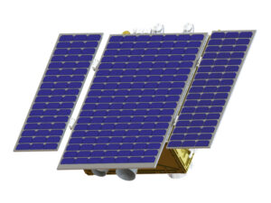
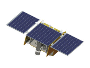
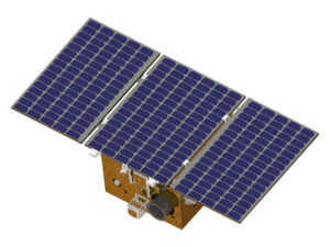
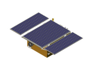
High-Resolution Agriculture and Forestry Monitoring Satellite Series
 Zhongke Xingchen
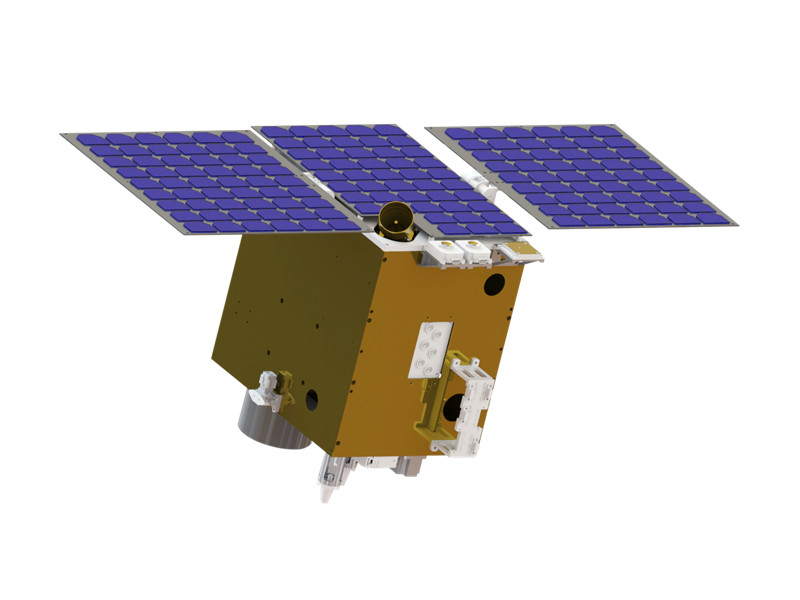
Satellite series for crop growth, resource management and pest/disease monitoring, with a 10 m hyperspectral camera and a 2 m panchromatic payload.
Technical specifications
- Imaging mode
- Pushbroom imaging
- Load index
- Hyperspectral camera
- Spectral range
- 450nm~900nm
- Spatial resolution
- 10m@500km
- Number of spectral segments
- 70
- Spectral resolution
- 6.5nm
- Width
- 14km@500km
- Quantization bits
- 12bit
- Load index 2
- Panchromatic camera
- Spectral range (panchromatic)
- 450nm~850nm
- Spatial resolution (panchromatic)
- ≤2m@500km
- Width (panchromatic)
- ≥14m@500km
- Quantization bits (panchromatic)
- 12bit
- Total star weight
- 130kg
About
High-resolution agricultural and forestry monitoring satellites are used for crop growth, resource management, and pest and disease monitoring. Equipped with a 10-meter hyperspectral camera, they avoid atmospheric absorption peaks to accurately capture vegetation characteristics. They also carry a 2-meter panchromatic payload which, after fusion processing, can output high-quality 2-meter resolution data.
Documentation
Need the full ICD, test reports or a specific revision? Ask the supplier directly.