SR Data — Satellite Imagery & Geospatial Analytics
 SR Space
Satellite imagery sourcing and AI-driven geospatial analytics service drawing on 86 optical, infrared and SAR spacecraft.
Technical specifications
- Source spacecraft
- 86 spacecraft (optical, infrared, SAR)
- EarthScanner resolution
- 0.5 m
- GaoFen-2 resolution
- 0.8 m
- JL-1GF04A resolution
- 0.3 m
- DailyVision resolution
- 0.75 m
- HiSea-1 SAR resolution
- 0.5 m
- EarthScanner JL-1KF01 resolution
- 0.5 m
About
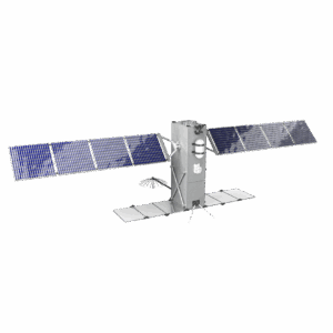
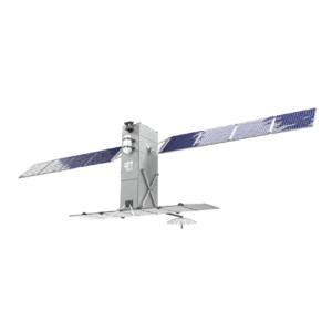
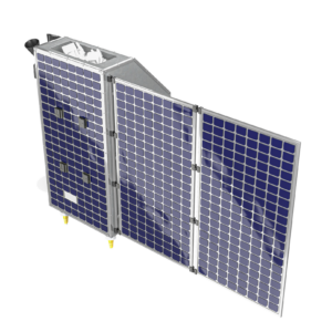
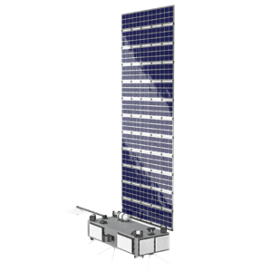
SR Data is SR Space’s geospatial data business, providing satellite imagery sourcing and analysis using data from 86 spacecraft across three sensor types: optical, infrared and SAR. The service combines imagery from multiple providers (including EarthScanner at 0.5 m resolution, GaoFen-2 at 0.8 m, JL-1GF04A at 0.3 m, DailyVision at 0.75 m, and HiSea-1 SAR at 0.5 m) with artificial-intelligence-based analysis and processing.
SR Data’s imagery and analytics support use cases including geospatial intelligence for airports, railway stations and logistics facilities; forestry monitoring and illegal logging detection; agricultural analysis (land inventory, crop monitoring, NDVI); ice monitoring along the Northern Sea Route and Arctic shipping lanes; environmental monitoring (pollution, oil spills, sea-level rise); urban development and green-space management; natural disaster prediction and response (fires, floods, landslides, volcanic eruptions); and monitoring of production facilities for investment risk assessment.
Documentation
No public datasheet yet — request the datasheet / ICD from the supplier.