
Space-qualified LiDAR sensor for rendezvous, proximity operations and space domain awareness — multi-km range demonstrated at 4.2+ km in ground testing. Exported to Lodestar Space (UK).
SAPPHIRE Space LiDAR
Space-qualified LiDAR sensor for rendezvous, proximity operations and space domain awareness — multi-km range demonstrated at 4.2+ km in ground testing. Exported to Lodestar Space (UK).
Description
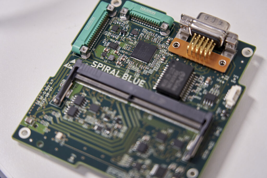
SAPPHIRE is Spiral Blue's space-qualified LiDAR sensor engineered for multi-kilometre scanning range, targeting satellite rendezvous, proximity operations, and space domain awareness (space-to-space). The sensor uses FMCW (Frequency-Modulated Continuous Wave) technology and has been demonstrated at a range of 4.2+ km in ground testing with Macquarie University in June 2026.
The first international unit was exported to Lodestar Space (UK) for persistent co-orbital defence capabilities. SAPPHIRE underpins Spiral Blue's TEAL-1+ constellation development for ground-truth-grade 3D Earth observation (1m horizontal, 10cm vertical accuracy), and was funded in part by an AUD $3 million Australian Government CRC-P grant in September 2025 to advance the system from TRL 4 to TRL 7, with stratosphere testing planned for 2026 and an orbital demonstration in 2027.
Specifications
| Technology | FMCW (Frequency-Modulated Continuous Wave) LiDAR |
|---|---|
| Scanning range | Multi-kilometre (4.2+ km demonstrated on ground, June 2026) |
| Applications | Rendezvous, proximity operations, space domain awareness, ISR |
| TEAL-1+ EO horizontal accuracy | 1m |
| TEAL-1+ EO vertical accuracy | 10cm |
| Capability | Foliage-penetrating |
| Orbital demo target | 2027 |
| Export | Lodestar Space (UK) for defence proximity operations |
| CRC-P funding | AUD $3M (September 2025) |