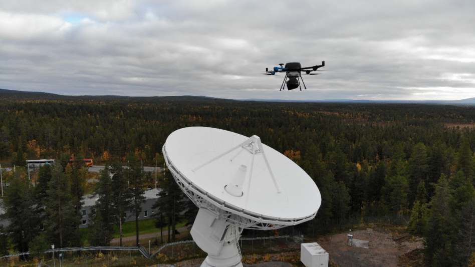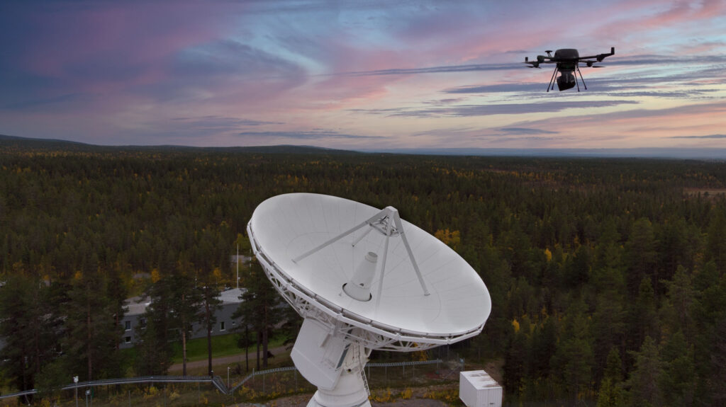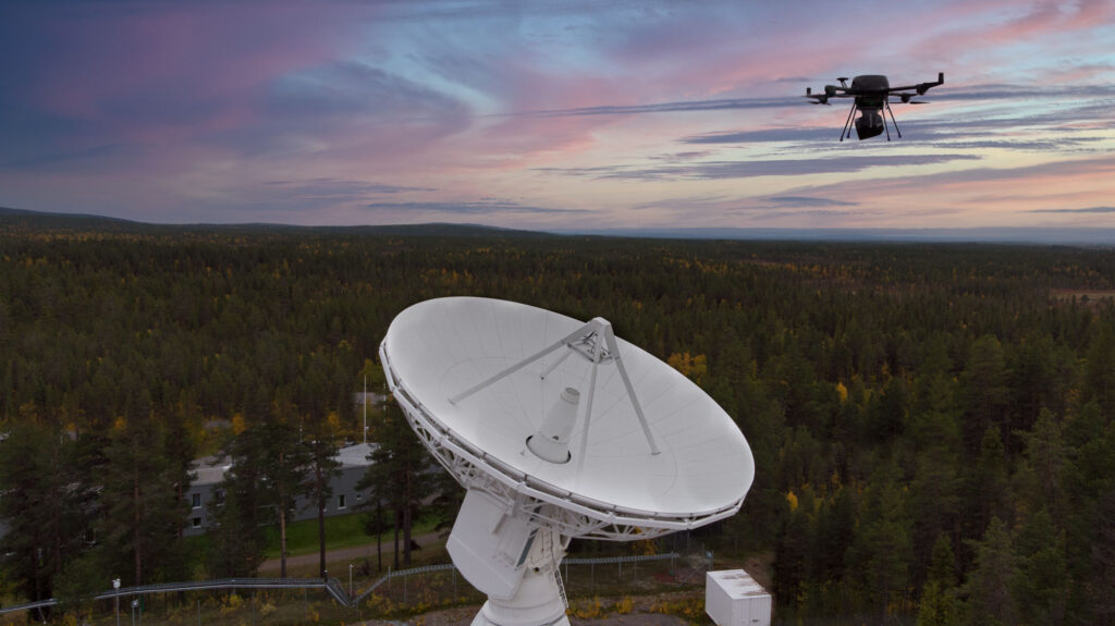

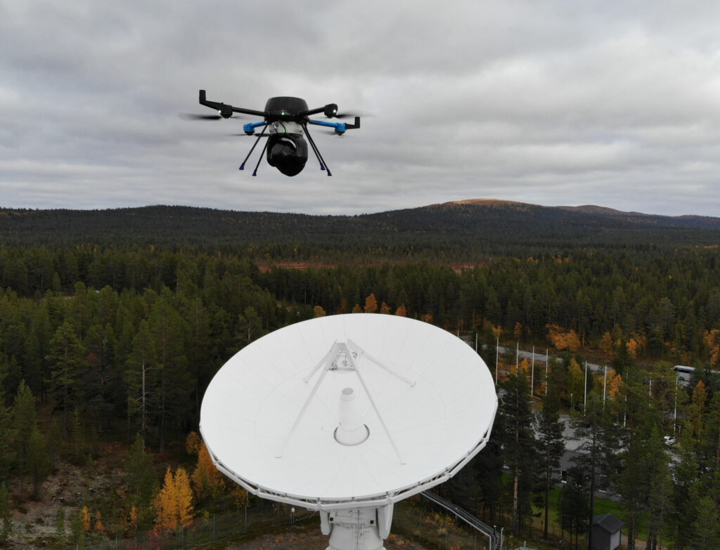
Drone-based RF direction-finding system that locates sources of RF interference, RFI, and signal degradation on ground station antennas in real time.
QS RF Locator
Drone-based RF direction-finding system that locates sources of RF interference, RFI, and signal degradation on ground station antennas in real time.
Description
The Quadsat QS RF Locator is a UAV-mounted direction-finding and interference characterization system. While the standard QS RF Measurement System characterizes the antenna radiation pattern, the QS RF Locator is specifically designed to identify and spatially locate radio frequency interference (RFI) sources affecting a ground station installation.
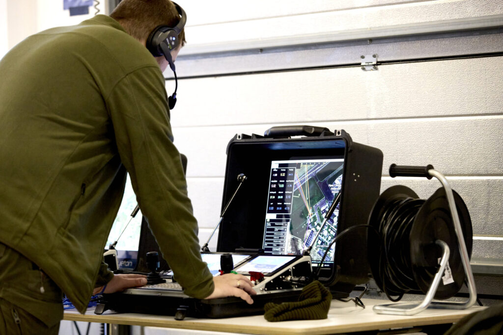
The drone carries wideband receiving hardware that triangulates interference origins while flying around the dish and adjacent infrastructure. This allows operators to pinpoint physical sources of jamming, intermodulation, or self-interference from nearby equipment — information that is otherwise difficult to obtain with fixed receivers or terrestrial direction finders. The QS RF Locator integrates with the Quadsat cloud processing platform for result visualization and reporting.
Specifications
| Function | Drone-based RF interference localization |
|---|---|
| Platform | Autonomous UAV (drone) |
| Capability | Spatial triangulation of RFI sources |
| Use Case | Interference diagnosis at satellite ground stations |
| Integration | Quadsat cloud analytics platform |