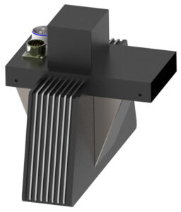
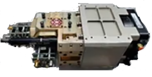
Xiomas Wide Area Imager (WAI)
 Xiomas Technologies
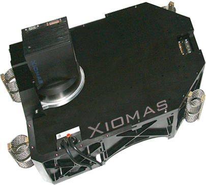
Airborne step-stare multispectral/thermal-infrared imaging system combining high spatial resolution with a wide, programmable field of view for rapid wide-area mapping.
Technical specifications
- Optical architecture
- Step-Stare optical system
- Spectral bands
- Multi-band system, 2-5 bands
- Thermal detector
- 2-band QWIP for mid-wave and long-wave infrared
- Visible/NIR detector
- 3-band color infrared sensor (green, red, NIR)
- Spatial resolution
- 300 microradian (high resolution)
- Field of view
- 90 degrees, programmable up to 110 degrees
- Onboard processing
- Real-time Orthorectification Processing Unit (OPU) generating GIS-compatible fire layer and terrain layer files
- Data handling
- Image classification and compression
- Data transmission
- Ethernet — air-to-ground or satellite link
- Flight history
- Approximately 30 flights, including engineering/calibration tests, two commercial imaging projects, and wildfire fire-mapping missions
- Development program
- NASA SBIR Phase I and Phase II, awarded 2008
About
The Wide Area Imager (WAI) is Xiomas Technologies’ original airborne imaging system, developed under NASA SBIR Phase I and Phase II contracts beginning in 2008 with the goal of reducing operational costs of airborne optical remote sensing by 2-3x through increased coverage rate and decreased flight time. WAI uses a ‘step-stare’ optical architecture that combines high spatial resolution with a wide, programmable field of view (up to 110 degrees), enabling large geographic areas to be scanned in short periods of time with greater detail than conventional framing or whiskbroom scanners. The system has flown roughly 30 missions, including engineering and calibration test flights, two commercial imaging campaigns (illicit-discharge detection for the Louisville, KY Metropolitan Sewer District), and multiple wildfire-mapping demonstration missions for the USDA Forest Service and NIROPS. Onboard data processing includes a real-time Orthorectification Processing Unit (OPU) that generates GIS-compatible fire and terrain layers, along with image classification and compression prior to air-to-ground or satellite data transmission. WAI development informed later Xiomas systems (TMAS, TBIRD) aimed at translating the same step-stare concept to small-satellite and CubeSat platforms.
Documentation
- NIROPS-Report-2014.pdf xiomas.com ↗
- USDA-Forest-Service-2013.pdf xiomas.com ↗
- IR-Imaging-in-Louisville-KY-Fact-Sheet-8-4-16.pdf xiomas.com ↗
Need the full ICD, test reports or a specific revision? Ask the supplier directly.