Vivid Basemaps
 Vantor
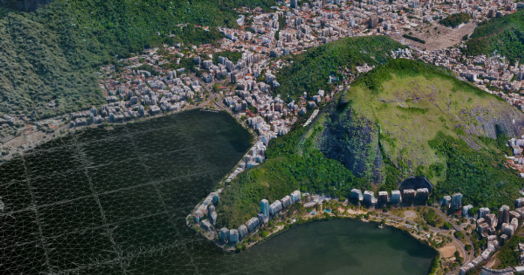
AI-updated 2D and 3D global basemap suite offering seamless mosaics, 3D terrain, and vector features.
Technical specifications
- Mosaic coverage (15 cm)
- 6 million sq km across the world's most populated areas
- Mosaic coverage (30 cm)
- Virtually all of Earth's landmass except Antarctica
- Mosaic accuracy
- <5 m CE90, 4 spectral bands (BGRN)
- Terrain accuracy
- 3 m absolute accuracy in all dimensions
- Terrain coverage
- >100 million sq km (95% of highest areas of interest)
- Terrain data types
- Mesh surface models with real textures, raster and point-cloud elevation data
- Features data source
- Developed in partnership with Ecopia AI
- Features content
- Building footprints, road centerlines, land cover, 2D/3D vectors
About
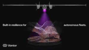
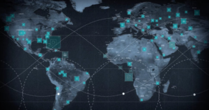
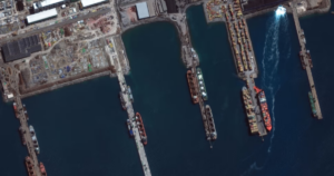
Vivid is Vantor’s dynamic-foundation product suite, providing a continuously updated digital twin of the physical world using AI-powered change detection. Vivid Mosaic delivers seamless, continuously refreshed satellite image mosaics with six million sq km of 15 cm coverage across the world’s most populated areas and 30 cm coverage across virtually all of Earth’s landmass (excluding Antarctica), with under 5 m CE90 accuracy and four spectral bands (BGRN) for advanced analysis. Vivid Terrain offers deeply immersive, mission-grade 3D terrain built with automated 3D modeling software, delivering an absolute accuracy of 3 m in all dimensions across more than 100 million sq km (95% of the world’s highest areas of interest), including mesh surface models with real textures, raster, and point-cloud elevation data — combinable with Vantor’s Forge sensor-fusion software for a shared operational terrain. Vivid Features, developed in partnership with Ecopia AI, provides the most accurate 2D and 3D vector features at global scale, including building footprints, road centerlines, and land cover, consistently aligned across space and time as a dynamic, auto-updating vector basemap. Vivid products support defense/intelligence mission rehearsal and battlespace understanding, autonomous-system GPS-independent navigation, automated mapmaking, and AI-ready data foundations for monitoring and change-detection algorithms.
Documentation
No public datasheet yet — request the datasheet / ICD from the supplier.