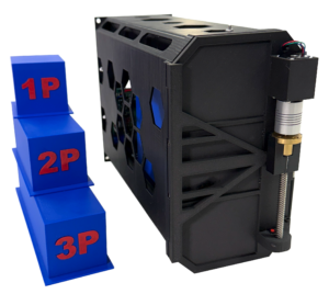
Quub Earth Observation Constellation
Quub (Mini-Cubes)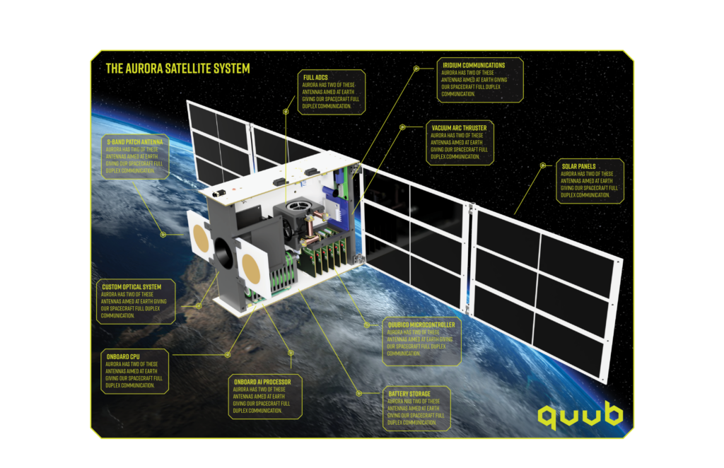
PocketQube constellation delivering high-frequency Earth observation imagery for water, agriculture, disaster response, and air quality monitoring.
Technical specifications
- Platform
- PocketQube-class microsatellites
- Applications
- Water resources, forests, crops, air quality monitoring
- Ground systems
- AI-powered imagery processing
- Customers
- Water utilities, agriculture, disaster response, infrastructure monitoring
About
Quub’s Earth observation constellation consists of low-cost PocketQube-class microsatellites designed to deliver high-frequency, actionable imagery to operational customers in water utilities, agriculture, disaster response, and infrastructure monitoring. The constellation monitors water resources (wastewater management, coastline erosion, flood risk, contamination), forests (wildfire risk, timber resources, leaf area index), crops (yield prediction, blight, soil moisture), and air quality (industrial emissions, methane plumes, aerosol monitoring). AI-powered ground systems process raw imagery into operational decisions, reducing the time from satellite capture to actionable output.
Documentation
No public datasheet yet — request the datasheet / ICD from the supplier.