Firefly
 Pixxel
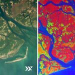
Pixxel's Firefly constellation is a fleet of six small hyperspectral Earth-observation satellites delivering 5-meter resolution imagery across 135+ spectral bands, providing daily global monitoring of environmental and industrial change.
Technical specifications
- Spatial resolution
- 5 m
- Spectral bands
- 135+
- Wavelength range
- 450-900 nm
- Bands selectable per capture
- up to 45
- Swath width
- 40 km
- Satellite mass
- ~50 kg each
- Orbital altitude
- 550 km, sun-synchronous
- Revisit frequency
- 24 hours (daily global coverage)
- Constellation size
- 6 satellites (Phase 1, completed 2025)
- First launch
- January 14, 2025, SpaceX Transporter-12 (3 satellites)
- Second launch
- August 26-27, 2025, SpaceX Falcon 9 (3 satellites)
About
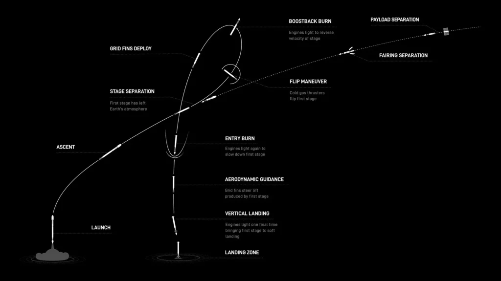
Firefly is Pixxel’s flagship commercial-class hyperspectral Earth-observation satellite platform. Each roughly 50 kg satellite operates in a 550 km sun-synchronous low Earth orbit and captures imagery at 5 meter ground sampling distance across a 40 km swath, spanning 135+ spectral bands in the 450-900 nm range (users can select up to 45 bands per capture for application-specific optimization). The six-satellite Firefly constellation, completed in 2025, provides daily global revisit coverage. Firefly’s hyperspectral data is aimed at agriculture (crop stress and health monitoring), mining and energy (mineral mapping, industrial activity), environmental monitoring (deforestation, water pollution, methane and emissions tracking), forestry, and government/defense applications. Flight heritage: the first three Firefly satellites launched January 14, 2025 aboard SpaceX’s Transporter-12 rideshare mission, and the second batch of three launched August 26-27, 2025 on a SpaceX Falcon 9 mission from Vandenberg Space Force Base, completing the six-satellite Phase 1 constellation now operational in orbit.
Documentation
No public datasheet yet — request the datasheet / ICD from the supplier.