Firefly Hyperspectral Satellite Constellation
 SpacePixxel (Pixxel)
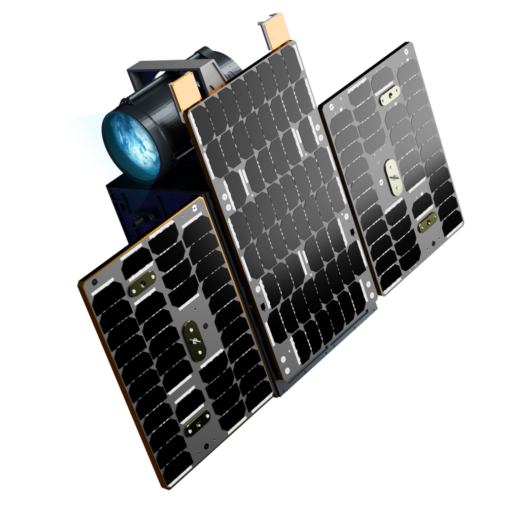
World's highest-resolution commercial hyperspectral imaging constellation — 5m GSD, 150+ spectral bands, 40km swath, daily revisit from LEO.
Technical specifications
- Constellation size (Phase 1)
- 6 satellites
- Satellite mass
- ~50 kg
- Orbit
- Sun-synchronous LEO
- Orbital altitude
- ~550 km
- Ground sample distance (GSD)
- 5 m
- Spectral bands
- 135–150+
- Wavelength range
- 450–900 nm (VNIR)
- Swath width
- 40 km
- Revisit frequency
- Daily (24 hours)
- First launch
- January 2025, SpaceX Transporter-12
- Phase 1 constellation complete
- August 2025
About
Firefly is Pixxel’s first commercial satellite constellation, consisting of six smallsats in sun-synchronous orbit at ~550 km altitude. Each satellite carries a hyperspectral imager delivering 5-metre ground sample distance across 135–150+ spectral bands spanning 450–900 nm VNIR, with daily revisit and a 40-kilometre swath — six times the spatial resolution of any prior operational hyperspectral system.
This level of spectral-spatial fidelity enables detection of crop disease, chemical composition of soils, hydrocarbon seep detection, vegetation stress from drought or pests, water quality parameters, and illegal activity signatures — applications that are fundamentally impossible with RGB or traditional multispectral satellites. The constellation supports precision agriculture, energy infrastructure monitoring, environmental compliance, forestry, ocean health, and government intelligence.
The first three Fireflies were launched on SpaceX Transporter-12 in January 2025, followed by three more in August 2025, completing the Phase 1 constellation. Firefly data is accessible via Pixxel’s Aurora cloud-native platform, direct API, or standard GeoTIFF/STAC-compliant interfaces.
Documentation
No public datasheet yet — request the datasheet / ICD from the supplier.