

Cloud-based Major Tom mission-operations software for commanding, monitoring and automating satellites and constellations across multiple ground-station networks.
Major Tom - Operations as a Service
Cloud-based Major Tom mission-operations software for commanding, monitoring and automating satellites and constellations across multiple ground-station networks.
Description
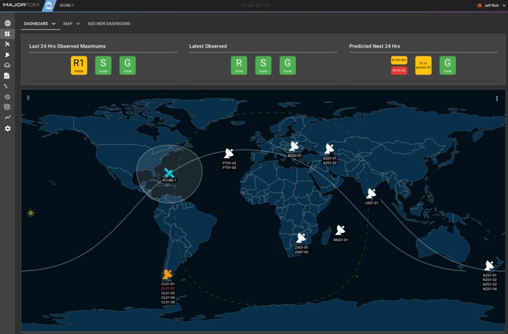
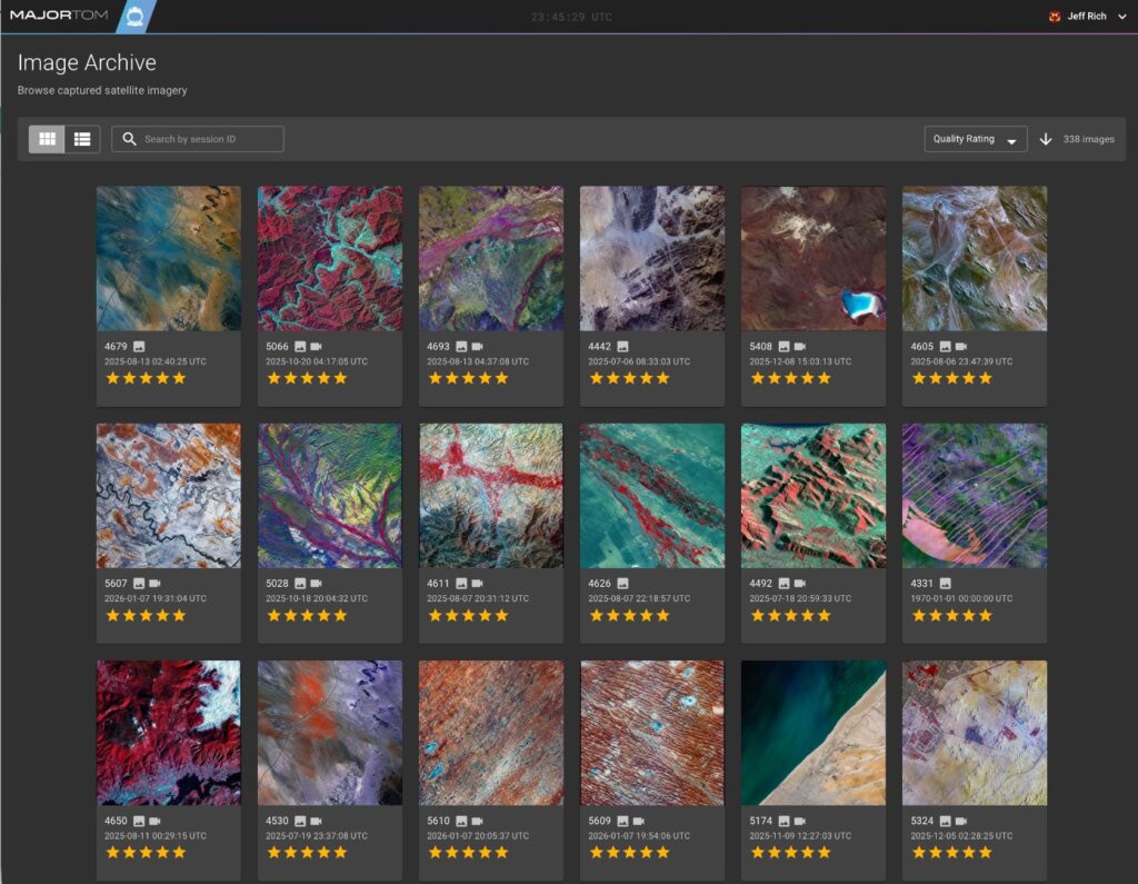
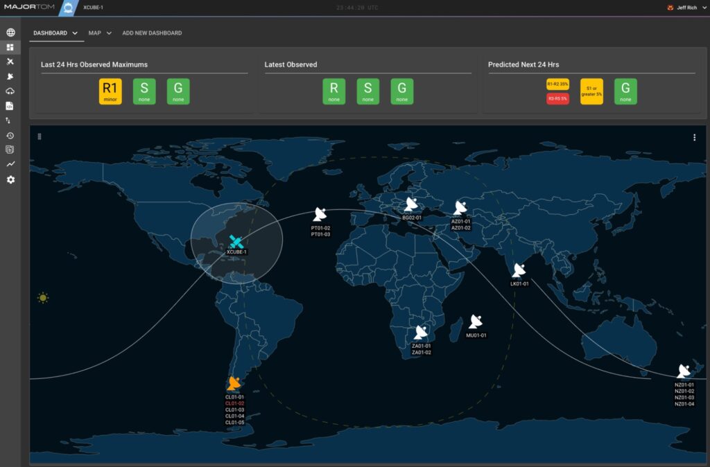
Operations as a Service is built around Major Tom, Xplore's satellite operations and mission-control software, used to fly missions from a single entry-level satellite up to full constellations. Major Tom lets operators run their spacecraft across multiple ground-station networks through one unified interface, with a scripting API for user-defined automation, tools and test environments for pre-launch satellite development, an intuitive dashboard, multi-mission scalability, and remote, role-based access from anywhere. Core capabilities include manual or automated command and control of payloads and subsystems, real-time and historical telemetry visualization, multi-satellite orbital tracking and propagation, and two-way file management for uploads and data retrieval. The platform is cloud-hosted to remove fixed ground-infrastructure costs, supports distributed teams through role-based access control, and is built for ITAR compliance and international regulatory standards with 2FA and 99.9% uptime across multiple availability zones, plus a REST API for integration with flight-dynamics systems, mission planning tools and ground networks.
Specifications
| Service model | Operations as a Service (SaaS mission control) |
|---|---|
| Ground network access | Multiple ground-station networks via single interface |
| Automation | Scripting API for user-defined automation |
| Access | Remote, role-based access control |
| Security / compliance | Two-factor authentication (2FA), ITAR compliant, international regulatory standards |
| Availability | 99.9% uptime across multiple availability zones |
| Integration | REST API for flight dynamics and mission planning tool integration |
| Telemetry | Real-time and historical telemetry visualization; multi-satellite orbital tracking and propagation |