


Cyclops is a software-only visual positioning system (VPS) that gives fixed-wing UAVs reliable position estimates when GPS is jammed, spoofed, or unavailable.
Cyclops
Cyclops is a software-only visual positioning system (VPS) that gives fixed-wing UAVs reliable position estimates when GPS is jammed, spoofed, or unavailable.
Description
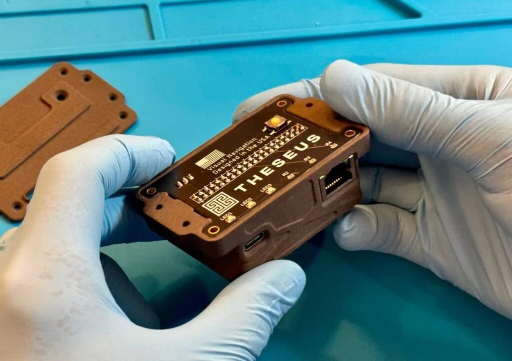
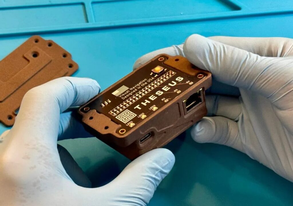
Cyclops compares live camera imagery against pre-generated reference/terrain maps to estimate a vehicle's global position in real time, and outputs that position to the flight controller over standard MAVLink interfaces. It is built for ArduPilot-based fixed-wing UAVs operating in contested, GPS-denied environments.
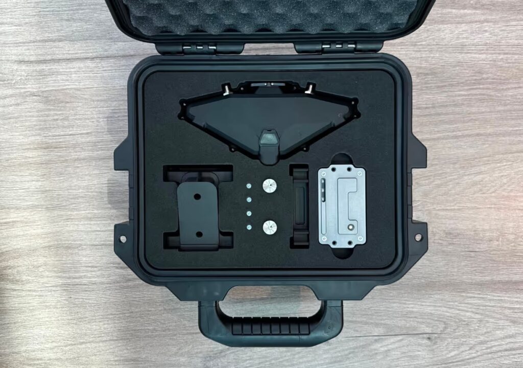
Simple by design: a single camera and commodity compute, with no precision calibration required, avoiding exotic hardware or fragile dependencies. Robust map matching: Cyclops works across changing terrain, seasonality, and lighting conditions, and is compatible with both EO cameras for daytime flight and LWIR thermal cameras for night operations. Native flight-controller integration: position is output to ArduPilot over MAVLink using a standard sensor stack, giving a straightforward integration path for existing fixed-wing platforms.
Cyclops runs on NDAA-compliant, commercially available flight computers, and has been successfully integrated with the Nano Pi R6C (Ubuntu 22 LTS) and Raspberry Pi 5 (Ubuntu 24 LTS). Demonstrated performance includes sub-50 m positioning accuracy at altitudes up to 1.1 km and ranges up to 104 km in entirely GPS-denied flight.
Specifications
| Positioning accuracy | < 50 m |
|---|---|
| Max demonstrated altitude | 1.1 km |
| Max demonstrated range | 104 km |
| Positioning method | Visual map-matching against pre-generated terrain reference maps |
| Camera sensors supported | EO (day), LWIR thermal (night) |
| Flight-controller interface | MAVLink (built for ArduPilot) |
| Compatible flight computers | Nano Pi R6C (Ubuntu 22 LTS), Raspberry Pi 5 (Ubuntu 24 LTS) |
| Hardware compliance | NDAA-compliant commodity compute |