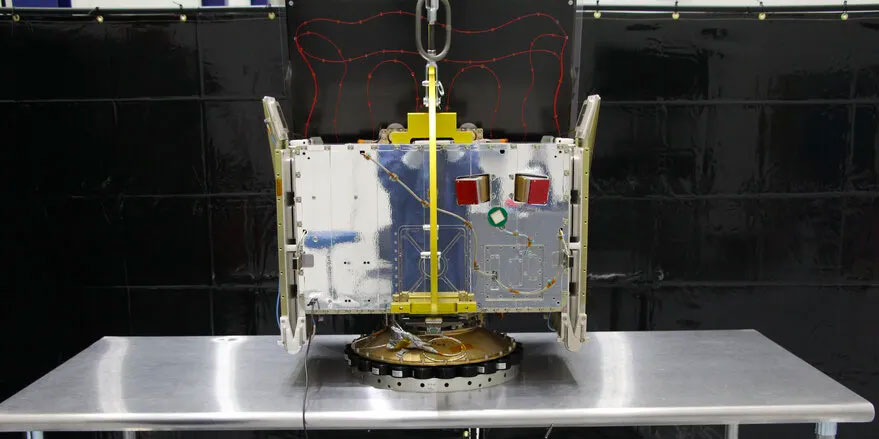

High-resolution GNSS Radio Occultation data from LEO constellation delivering global atmospheric profiles at 100m vertical resolution with SNR 1500 V/V — 7.5× higher than competing instruments.
GNSS-RO Atmospheric and Ionospheric Data
High-resolution GNSS Radio Occultation data from LEO constellation delivering global atmospheric profiles at 100m vertical resolution with SNR 1500 V/V — 7.5× higher than competing instruments.
Description
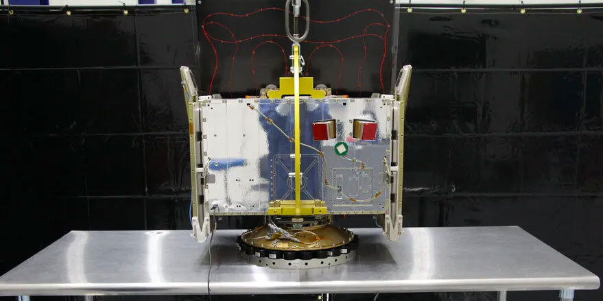
PlanetiQ's GNSS Radio Occultation (GNSS-RO) data service provides commercial weather intelligence derived from the company's small satellite constellation equipped with the fourth-generation Pyxis receiver. Each satellite tracks GPS, GLONASS, Galileo, and BeiDou navigation signals as they pass through Earth's atmosphere during occultation events, bending and refracting according to local atmospheric conditions — a physical process that allows precise inversion into temperature, pressure, humidity, and neutral atmosphere profiles at 100-metre vertical resolution globally.
The Pyxis receiver achieves signal-to-noise ratios of 1,500 V/V (60 dB-Hz), approximately 7.5× higher than competitive GNSS-RO instruments on the market, enabling deeper atmospheric penetration into the moist lower troposphere and through cloud cover — regions where other GNSS-RO systems degrade or fail. The data is inherently self-calibrating, requiring no ground-truth correction or sensor bias estimation, and is assimilation-ready for operational numerical weather prediction (NWP) pipelines at major meteorological centres.
In addition to neutral atmosphere profiling (temperature, pressure, water vapour), the constellation delivers ionospheric total electron content (TEC) profiles for space weather monitoring and navigation error correction. Data is contracted by NOAA under commercial data buy agreements (since 2023, with the RODB-2 contract worth $24.3M awarded September 2025) and by USAF under a $15M STRATFI award.
Specifications
| Instrument | Pyxis GNSS-RO receiver (4th generation, NASA-heritage, rad-hard) |
|---|---|
| Signal sources | GPS, GLONASS, Galileo, BeiDou |
| SNR | 1,500 V/V (60 dB-Hz) — 7.5× higher than competing instruments |
| Vertical resolution | 100 metres |
| Data products | Temperature, pressure, humidity profiles; ionospheric TEC |
| Calibration | Self-calibrating, no bias correction required |
| Constellation status | 5 satellites launched, 3 operational |
| Customers | NOAA (RODB-2 $24.3M, 2025), USAF STRATFI ($15M) |
| Orbit | LEO |